Great Lakes - January 16
Manufacture ID: 600015-5
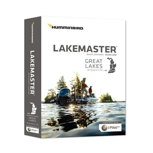
The Humminbird LakeMaster Great Lakes Edition, 2016 Version Map Card combines many of the best fishing waters for Indiana, Ohio, Michigan, Kentucky and Tennessee all on one map card.
The Great Lakes 2016 Version map card is i-Pilot Link compatible. The i-Pilot Link Integrated GPS Trolling System enables your Humminbird fishfinder and Minn Kota trolling motor to communicate,delivering automatic boat control. From your Humminbird or the wireless remote, you can find, store and revisit your most productive fishing spots and tracks. With an AutoChart or Lakemaster map, you can follow any depth contour you choose automatically, or cast to it from a set distance.
This map card has over 980 total lakes with contours, of which over 320 are now High Definition lakes including these highly requested water bodies:
Barkley
Guntersville
Nickajack
Pickwick
Plus portions of the Ohio River and More!
The map card also has outstanding coverage on these Great Lakes:
- Lake Michigan
All of Lake Michigan in 5ft & 10ft contours.
Green Bay, Big Bay De Noc, Little Bay De Noc, and Sturgeon Bay in 3ft contours
Little Traverse Bay, Grand Traverse Bay
- Lake Huron
All Huron U.S. Waters -5 ft contours
St. Marys River - 5ft Contours
St. Clair River & Lake St. Clair - 3ft Contours
Saginaw Bay - 3ft Contours
- Lake Erie
All of Lake Erie -1 ft contours
Detroit River -1 ft contours
Specifications:
- Covers: Indiana, Ohio, Michigan, Kentucky and Tennessee

